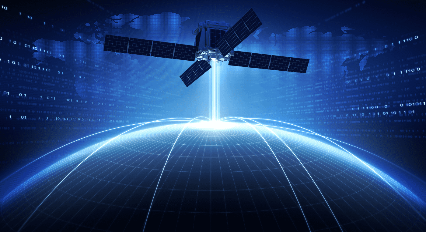
Unleash the power of satellite data with our advanced image processing and analysis services. We convert raw imagery into actionable insights through cutting-edge techniques. From land use mapping to disaster response, our expertise delivers precise and reliable information to drive informed decision-making.
GeoMapping Solutions was established with the sole purpose of revolutionising the country with the aid of advanced Geospatial solutions that can aim to solve decade old problems with high accuracy.
Discover how drones are revolutionizing data collection and analysis. Our advanced drone solutions capture high-resolution imagery and LiDAR data, providing unparalleled insights for your GIS projects. From precision mapping to real-time monitoring, we empower businesses and organizations to make informed decisions based on accurate and up-to-date geospatial information.
GeoMapping Solutions is Remote Sensing & GIS based company providing wide array of services that can help to solve modern problems in various sectors including Agriculture, Environmental Science, Geology, Hydrology, IT and Design, Geo-Technical investigations and research and development.
Access precise and up-to-date land information with our advanced cadastral mapping services. From property boundaries to land ownership, we provide comprehensive data and analysis to support your land management needs. Our expert team leverages GIS technology to deliver accurate and reliable information at your fingertips.
“GIS is not just mapping technology, it is a science of understanding patterns and relationships between objects in the real world.”
- Jack Dangermond
03
Years of experience
Our Statement
“We recognize the power of timely and accurate information in making wise decisions that ensure success and sustainability.”
Our passion for Geospatial technology and its potential to make a positive impact on society drives us at GeoMapping Solutions. By fostering an atmosphere of growth, creativity, and collaboration, we aim to lead our sector and drive innovation in developing nation like Pakistan.
WE ARE:
Passionsate about Geospatial technology and its potential for positive impact
Fostering growth, creativity, and collaboration to lead the sector and drive innovation
Commitment to utilizing Geospatial data for wise decision-making and sustainability
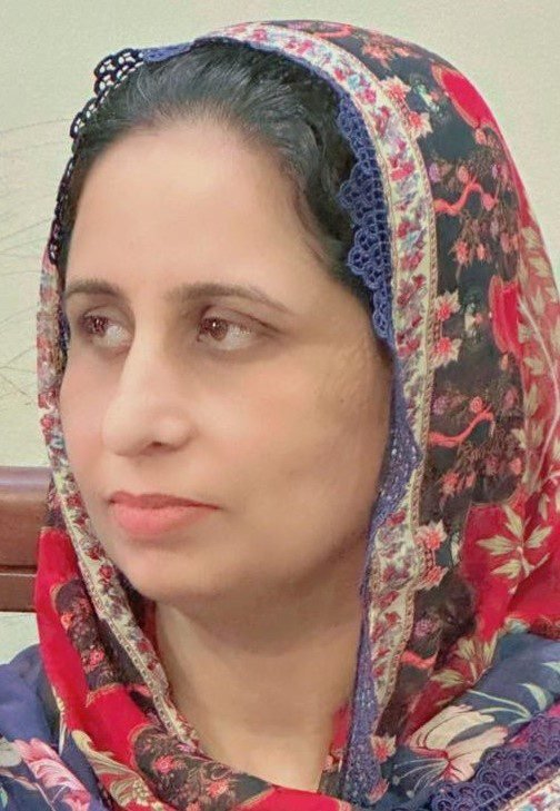
Mrs. Abida amin
CEO, GeoMapping Solutions
Introduction
How we are making a positive impact?
GeoMapping Solutions is an Islamabad-based company that provides services in GIS Remote Sensing, hydrology, geology, town planning, and more, with a focus on meeting clients’ needs through expertise in data and technology. They are capable of creating applications and dashboards based on processed data, and not primarily a consulting company.
GeoMapping Solutions offers a range of services related to GIS, remote sensing, and other geospatial applications.
GeoMapping Solutions has expertise in converting raw data into industry-standard plans and maps, as well as developing applications and dashboards.
The company is dedicated to providing the best services to clients worldwide.
GeoMapping Solutions offers a wide range of geospatial services, including data collection and analysis, mapping and visualization, location-based analytics, spatial modeling and forecasting, and custom software development. We work closely with our clients to understand their specific needs and provide tailored solutions that address their unique challenges.
Geospatial data can provide valuable insights into a wide range of business operations, from site selection and supply chain optimization to customer profiling and marketing analysis. GeoMapping Solutions can help you leverage this data through our expert analysis and visualization services, providing you with the insights you need to make informed decisions and stay ahead of the competition.
GeoMapping Solutions works with businesses across a variety of industries, including real estate, retail, logistics, finance, and government. We have extensive experience working with clients in these sectors and can provide tailored solutions that address the unique challenges and opportunities they face.
GeoMapping Solutions places a high priority on data accuracy and quality. We use the latest geospatial technologies and techniques to ensure that our data is reliable and up-to-date, and we regularly review and update our processes to ensure that we are providing our clients with the best possible results.
GeoMapping Solutions places a high priority on data accuracy and quality. We use the latest geospatial technologies and techniques to ensure that our data is reliable and up-to-date, and we regularly review and update our processes to ensure that we are providing our clients with the best possible results.
contact & hire us
Our Certifications Reflect Our Commitment to Quality, Trust & Transparency


